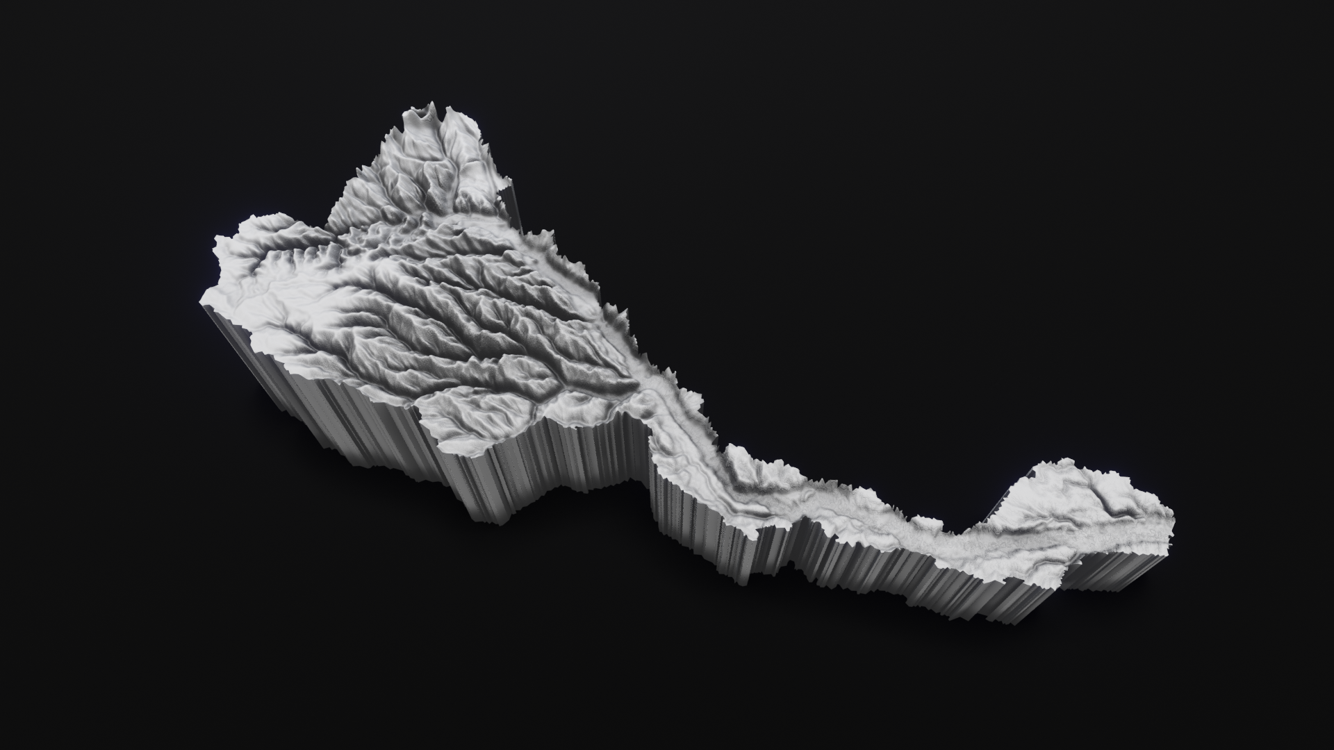
RÍOS / JURUÁ
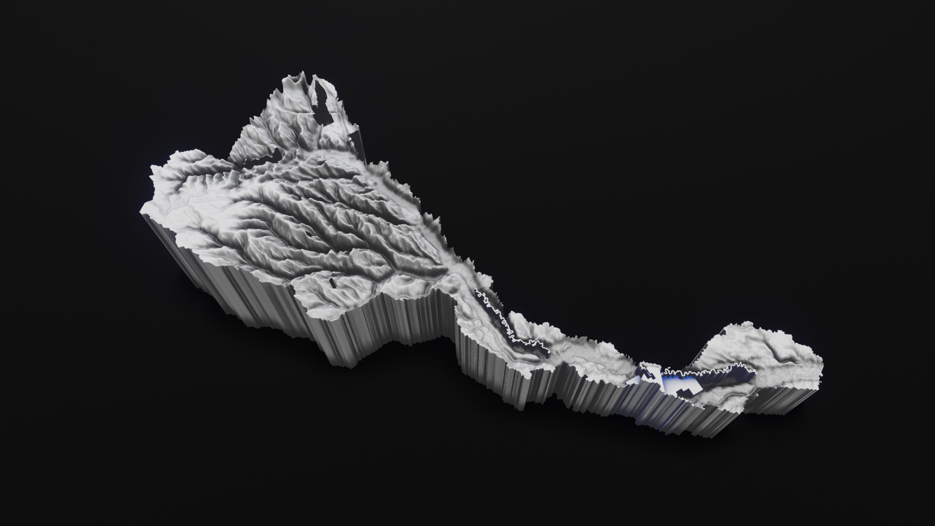
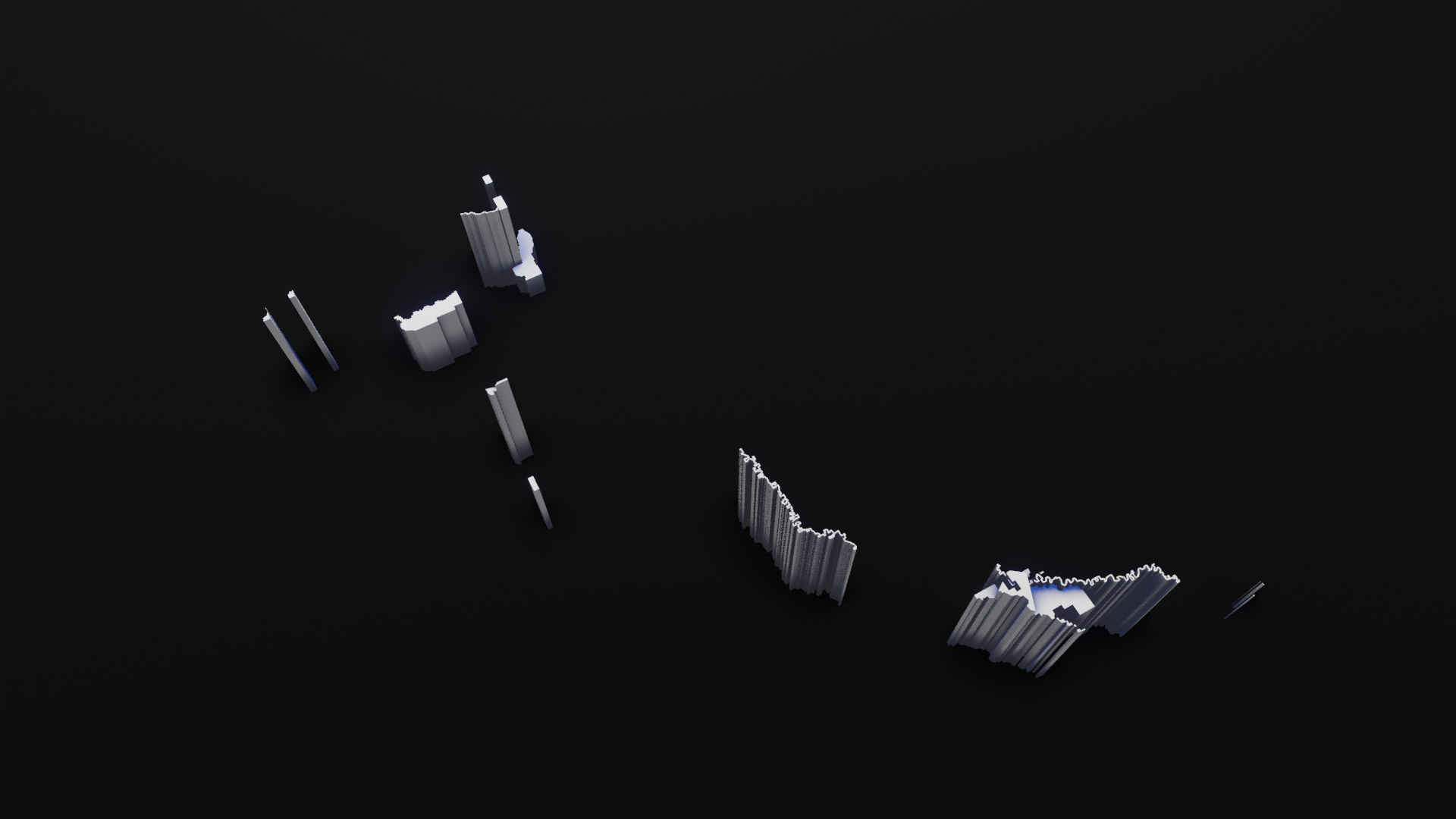
Juruá + socio-environmental threatsTechnique: 3D printed porcelain
Dimensions: 277mm x 291mm x 86.6mm (before baking, dimensions vary after the baking process)
Scale 1: 1,400,000
Limited edition: 3 copies + Artist proof
The digital elevation models used to generate the volumetric cartographic representations are based on topographic data combined with statistical data and geospatial socio-environmental information formulated by the RAISG (Amazon Geo-Referenced Socio-Environmental Information Network).
The geo-referenced information is associated with the linguistic analysis carried out by the online application Rivers // Amazonia geo-linguistic: https://rivers.ulara.org
The results of this analysis are applied to the geo-referenced marks where socio-environmental threats have been identified, by carrying out experimental interventions on the real topographic data of the Amazonian territory.
Based on the Juruá Amazons sub-basin, stamped the 4th of December 2020 with data analysis performed by Rivers // Amazonia geo-linguistic.
The following hashtag associations were recorded to produce the sculpture:
amazonia, amazons, Juruá, natgas, crude, kelistrikan, crudeoil, environment, infrastructure, oilandgas, wind, fintwit, cleanenergy, naturalgas, lng, amazons, oilandgasindustry, economics, renewables, petroleum, oott, business, biden, refining, politics, energyefficiency, software, fracking, tambang, storage, environmental, hydropower, carbon, deforestation, electricity, climate, nuclear, coal, energy, frackingchallenge, oilfield, water, solarpower, climatecrisis, commodities, agriculture, drillrig, minerals, markets, solar, shalegas, exploration, bigdata, fossilfuels, oilgas, oil, pipeline, power, renewable, onshore, technology, economy, renewableenergy, climateaction, construction, gas, solarenergy, drilling, investing, geothermal, listrik, emissions, finance, auspol, marketing, shale, fuels, oilindustry, offshore, innovation, forex, sustainability, subsea, transportation, trading, climatechange, stocks, mineria, crypto, jewelry, goldprice, blockchain, binance, minerals, investor, gold, stockstobuy, finance, diamante, mining, preciousmetals, oil, stock, copper, prstani, stockstowatch, bitcoin, construction, whitegold, geology, amazonia, rings, stocks, news, fintwit, investors, oro, goldrings, goldsmith, nickel, investment, goldstocks, diamant, btc, vergecurrency, diamond, miningstock, ironore, diamonds, scrypt, drilling, business, staking, investments, brasil, plata, tsxv, coin, zlato, lithium, golden, defi, porocniprstani, uranium, cobre, zinc, metals, resources, exploration, coal, wedding, altcoin, deve, commodities, future, invest, basemetals, juniormining, ethereum, energy, trading, silver, miningnews, cobalt, silverprice, palladium, cryptocurrency, pool, markets, money, mineralexploration, belozlato, biden, goldmining, investing, platinum.
The Juruá Basin (188.000 km2) is relatively narrow in its middle and lower reaches, and more than 90% lies within the Brazilian states of Amazonas and Acre.
The Juruá River is highly meandering with extensive meanders and floodplains studded with lakes surrounded by wetland forest. Juruá Basin headwaters arise in the department of Ucayali in Peru. The Juruá River is approximately 3.200 km long, and the basin has approximately 28.000 km2 of wetlands. The headwaters of the Juruá River are located higher in elevation than those of the Purus and in the Serra do Divisor, as it is called in Brazil or the Sierra Contamana in Peru. There are also headwaters to the east of the Sierra Contamana in the Sierra del Divisor (Peru), or Serra do Divisor (Brazil). Water from the Juruá River accounts for approximately 2% of the Amazon River’s total annual discharge.
Protected Areas
The Juruá Basin has relatively large protected areas in the headwaters and in its lower reaches. With indigenous areas added, it is probably the most protected large sub-basin in the Amazon. The Serra do Divisor National Park occupies approximately 85.000 km2 in the upper Juruá watershed in Brazil. At present, the Serra do Divisor National Park on the Brazil side is relatively isolated. However, dirt roads from the main Acre highway and from Cruzeiro do Sul are expanding westward and southward toward the park’s boundary. This expansion is opening areas close to the park to logging and cattle ranching. Recently the Sierra del Divisor National Park has been established on the Peru side. The waters of this area drain into the Ucayali River. The proposed Pucallpa-Cruzeiro do Sul highway would cut through the park and challenge management problems.
Uses & Impacts
Currently, deforestation for cattle ranching and logging operations in Acre are the main threats to Juruá Basin management. If the international Cruzeiro do Sul-Pucallpa Highway is completed, this will undoubtedly increase deforestation, and probably urbanization around the city of Cruzeiro do Sul. There is no significant mining in the Juruá Basin, and hydroelectric potential is minimal. Commercial fisheries exploit most of the Juruá River from about Cruzeiro do Sul to the mouth area.
For complete information about socio-environmental threats, follow this link:
https://atlas2020.amazoniasocioambiental.org/en/posts/introduction
Sources:
http://amazonwaters.org/
https://www.amazoniasocioambiental.org


