VISUALS
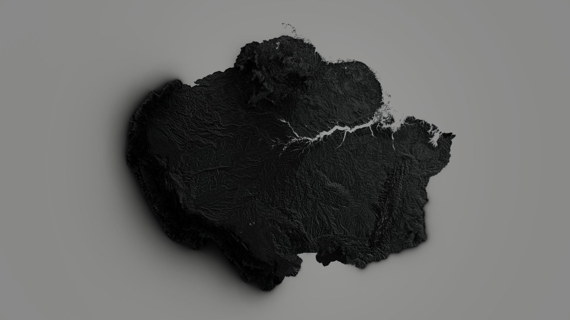
Topographical Relief of The Amazons Basin
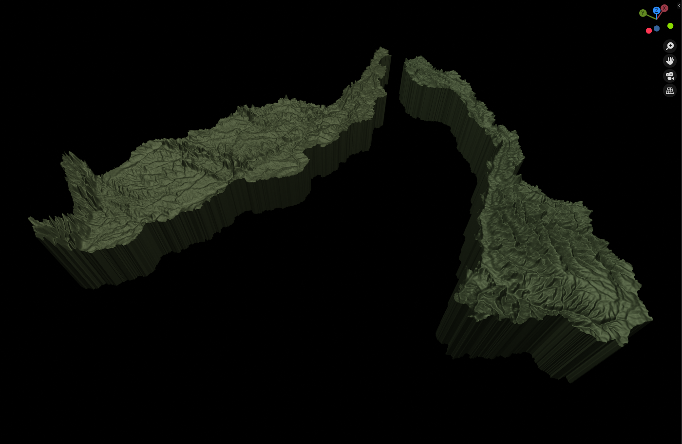
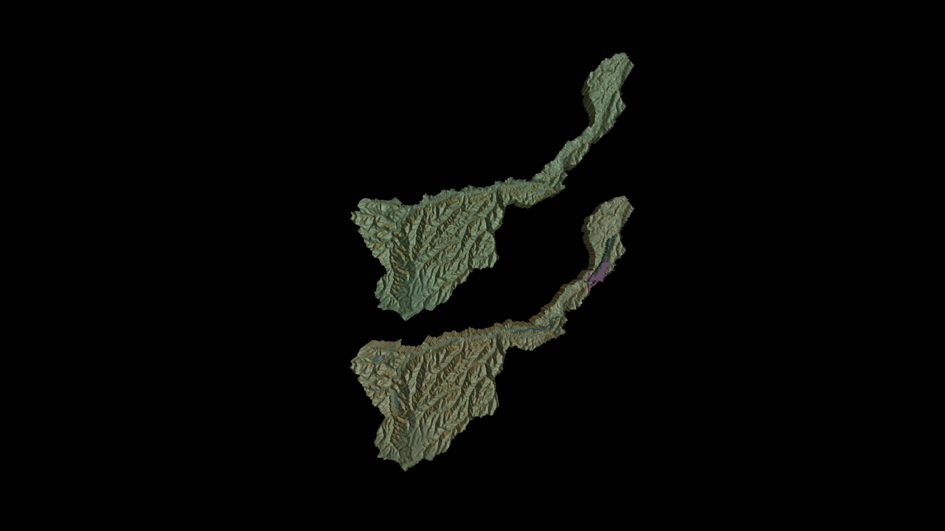
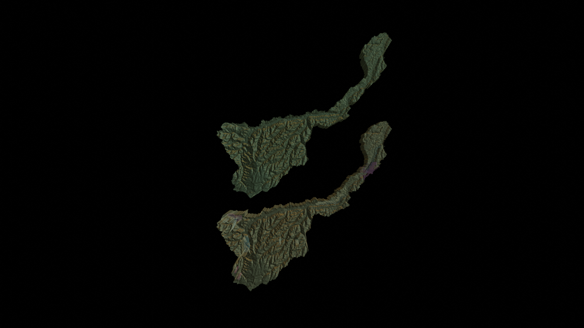
Caquetá-Japurá & Juruà Subbasins
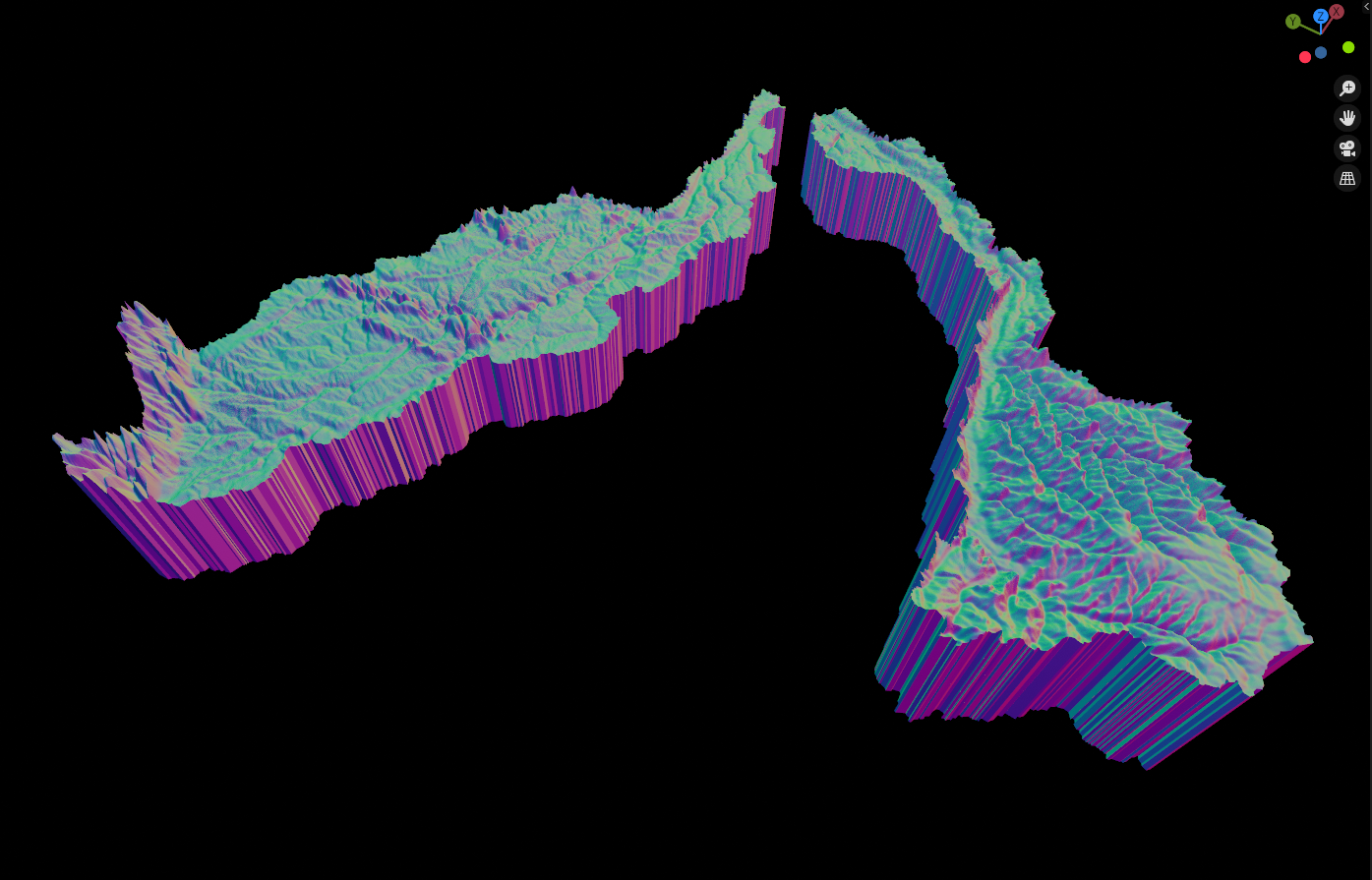
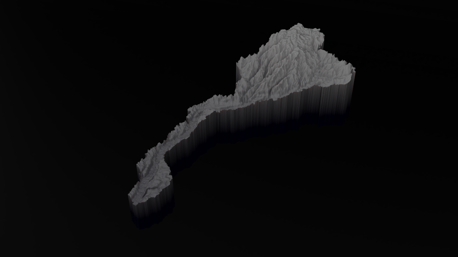
Caquetá-Japurá & Juruà Subbasins - Normal Map
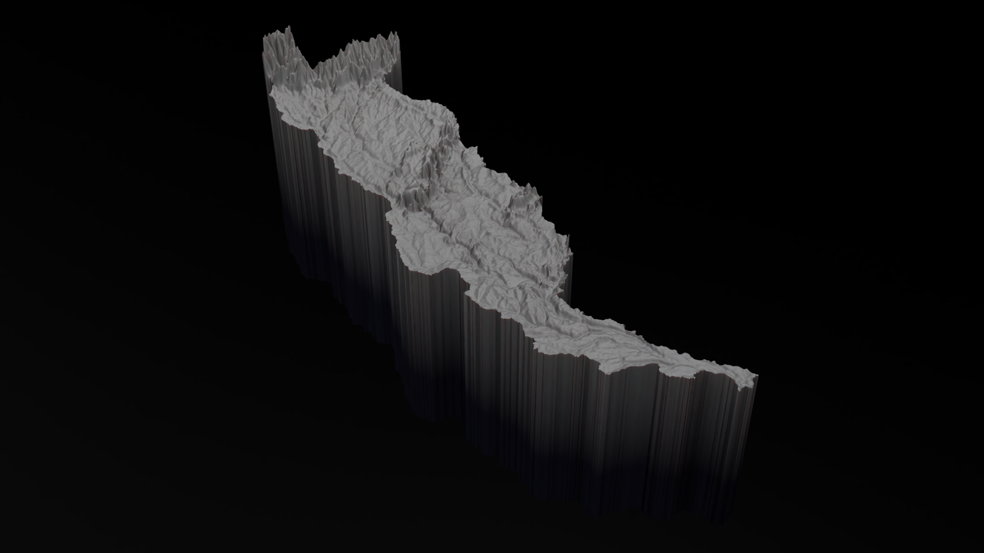
Subbasin Caquetá-Japurá
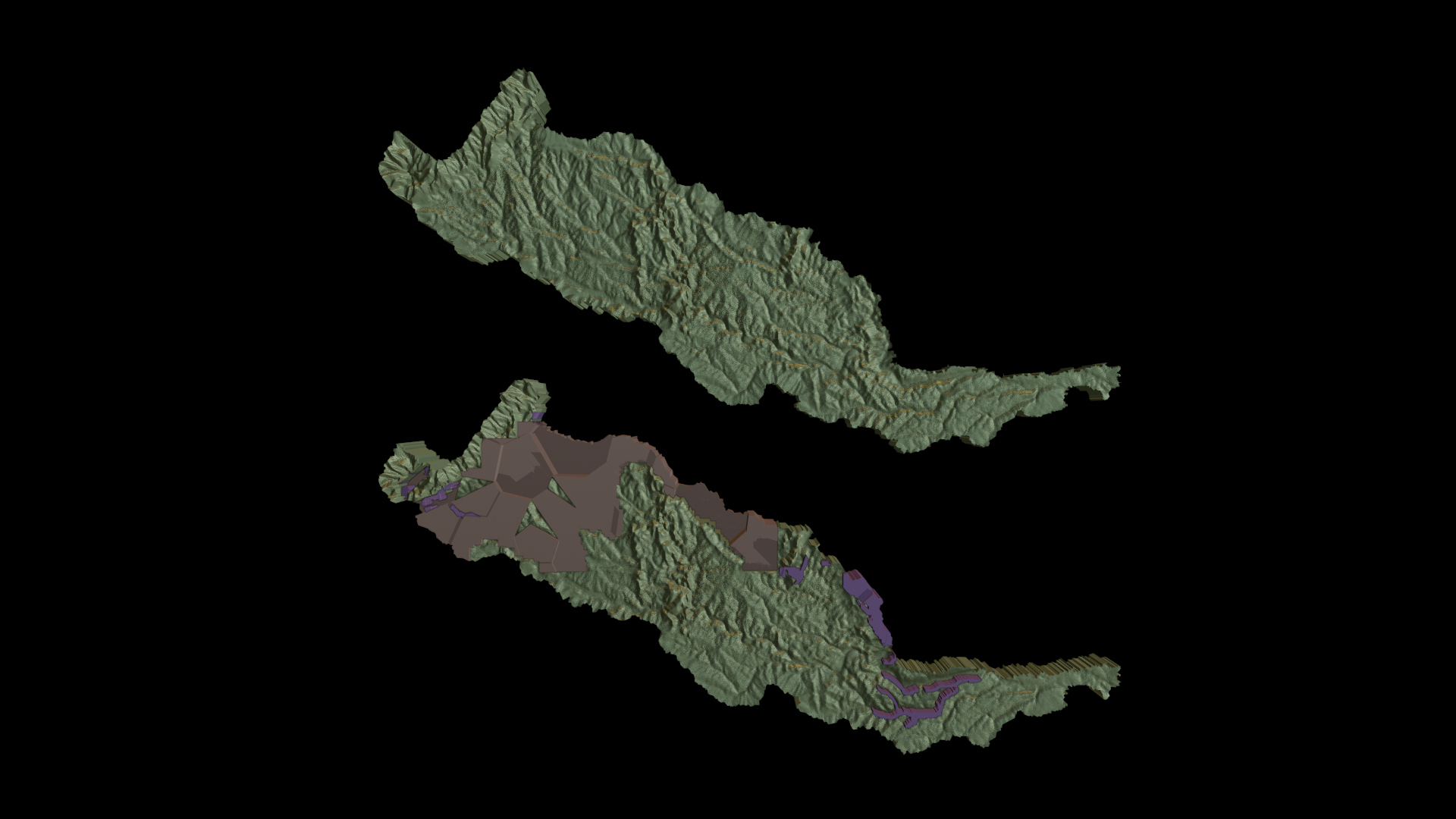
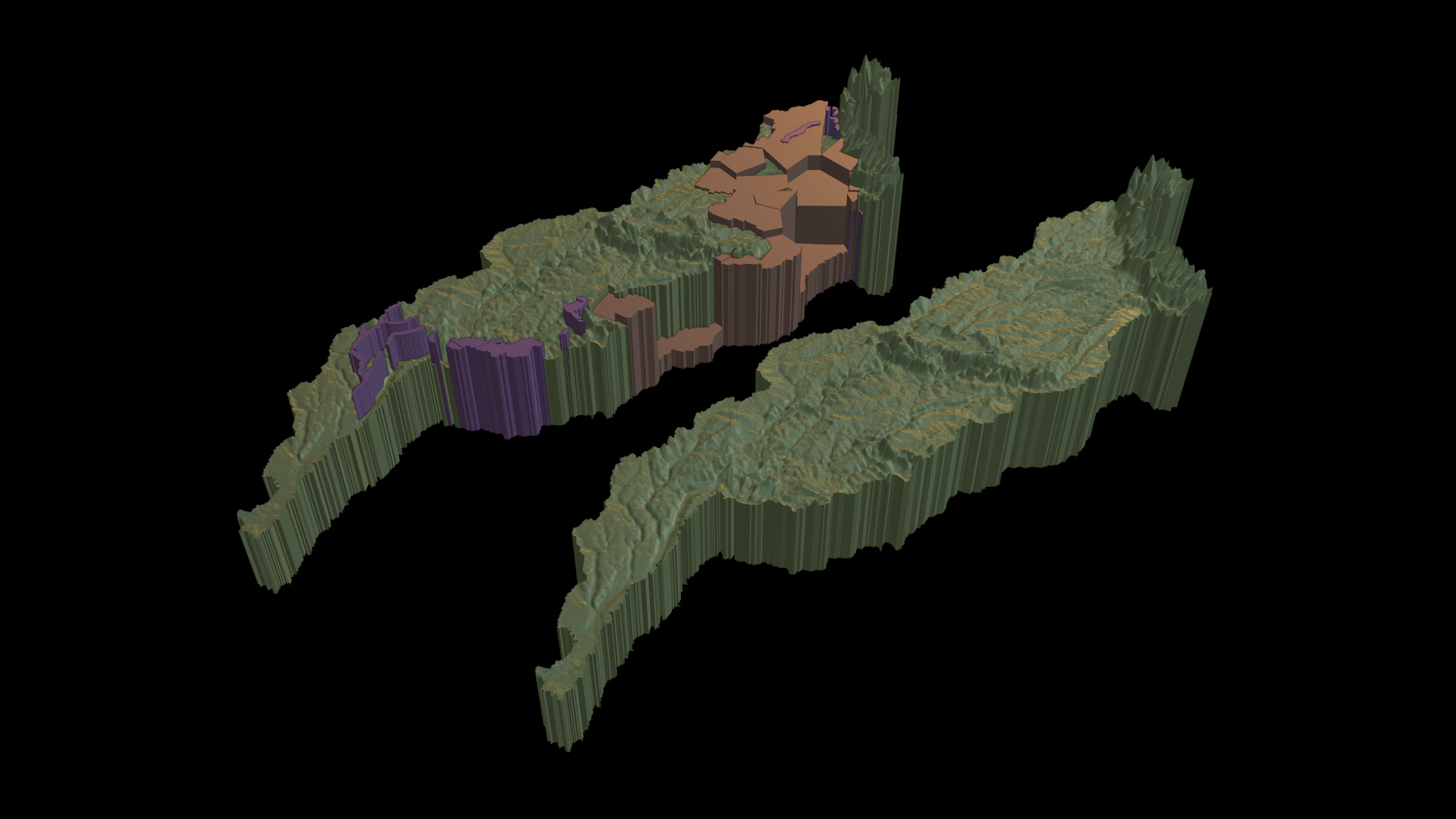
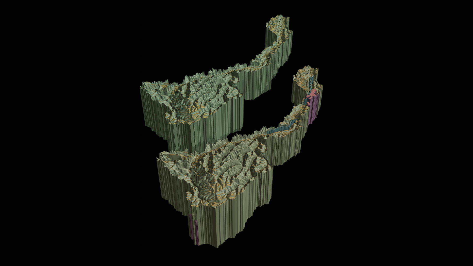
Subbasin Caquetá-Japurá // Threats of oil, gas and mining present in the territory with interventions based on Voroid Diagram
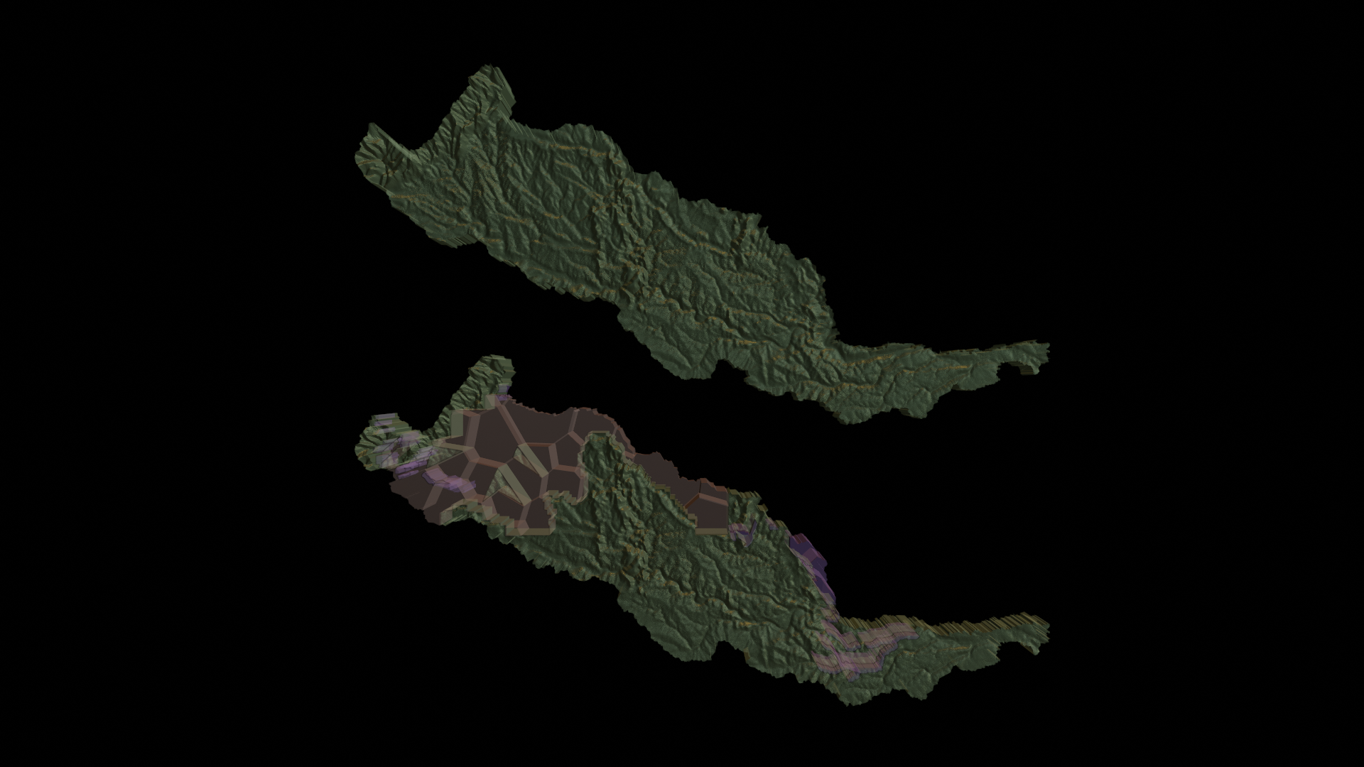
Subbasin Caquetá-Japurá // Threats of oil, gas and mining present in the territory with interventions based on Voroid Diagram // Xray
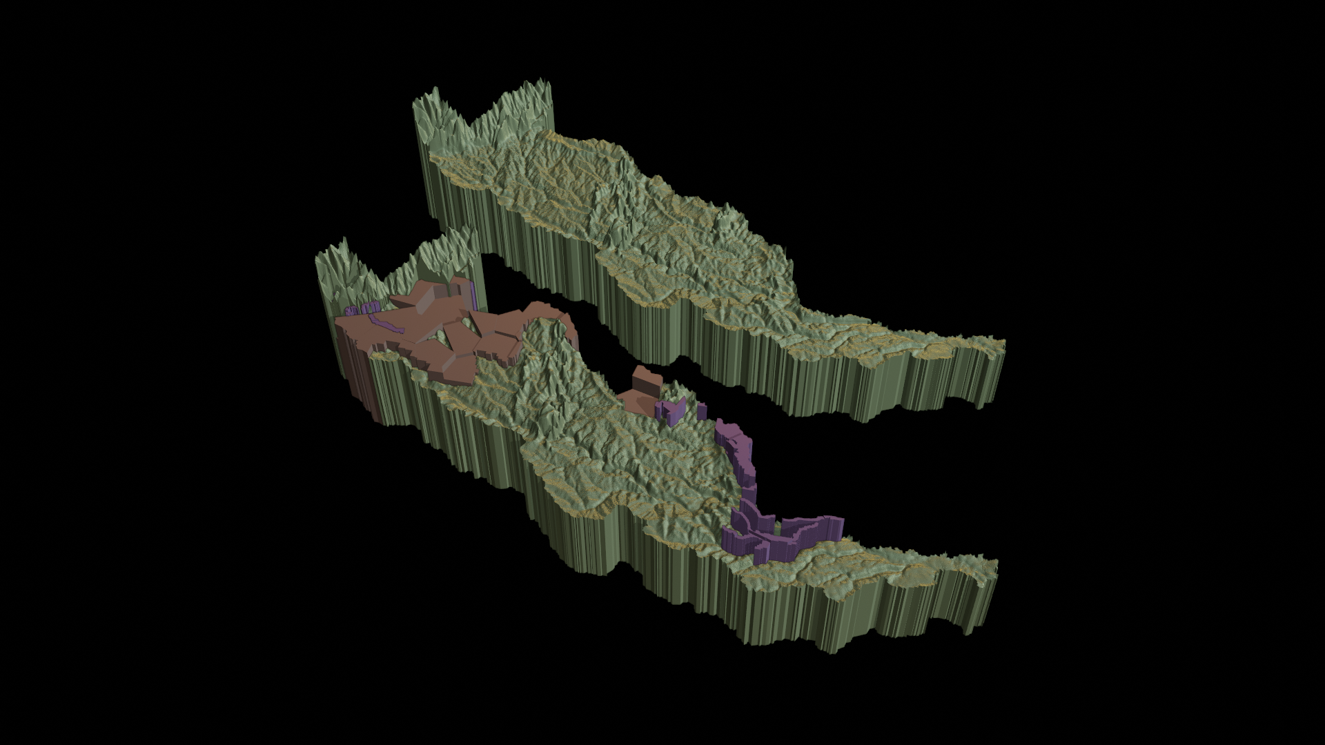
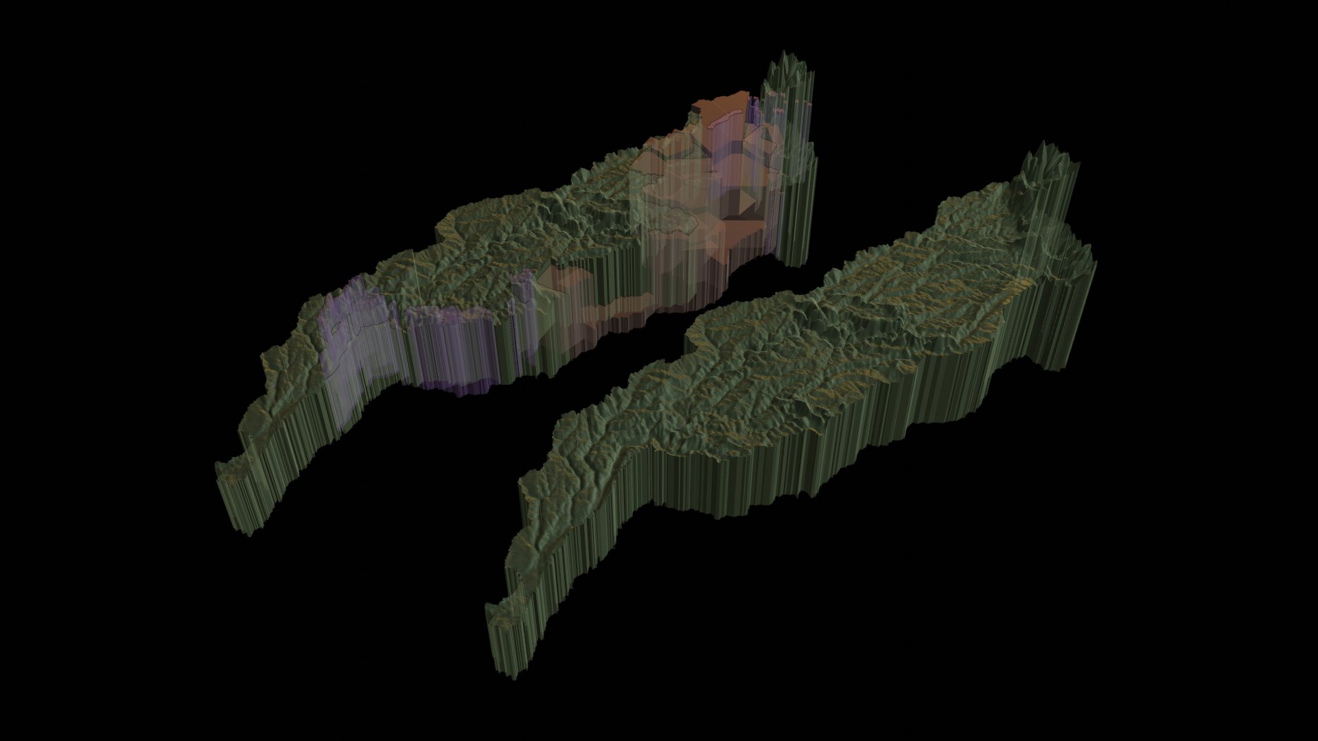
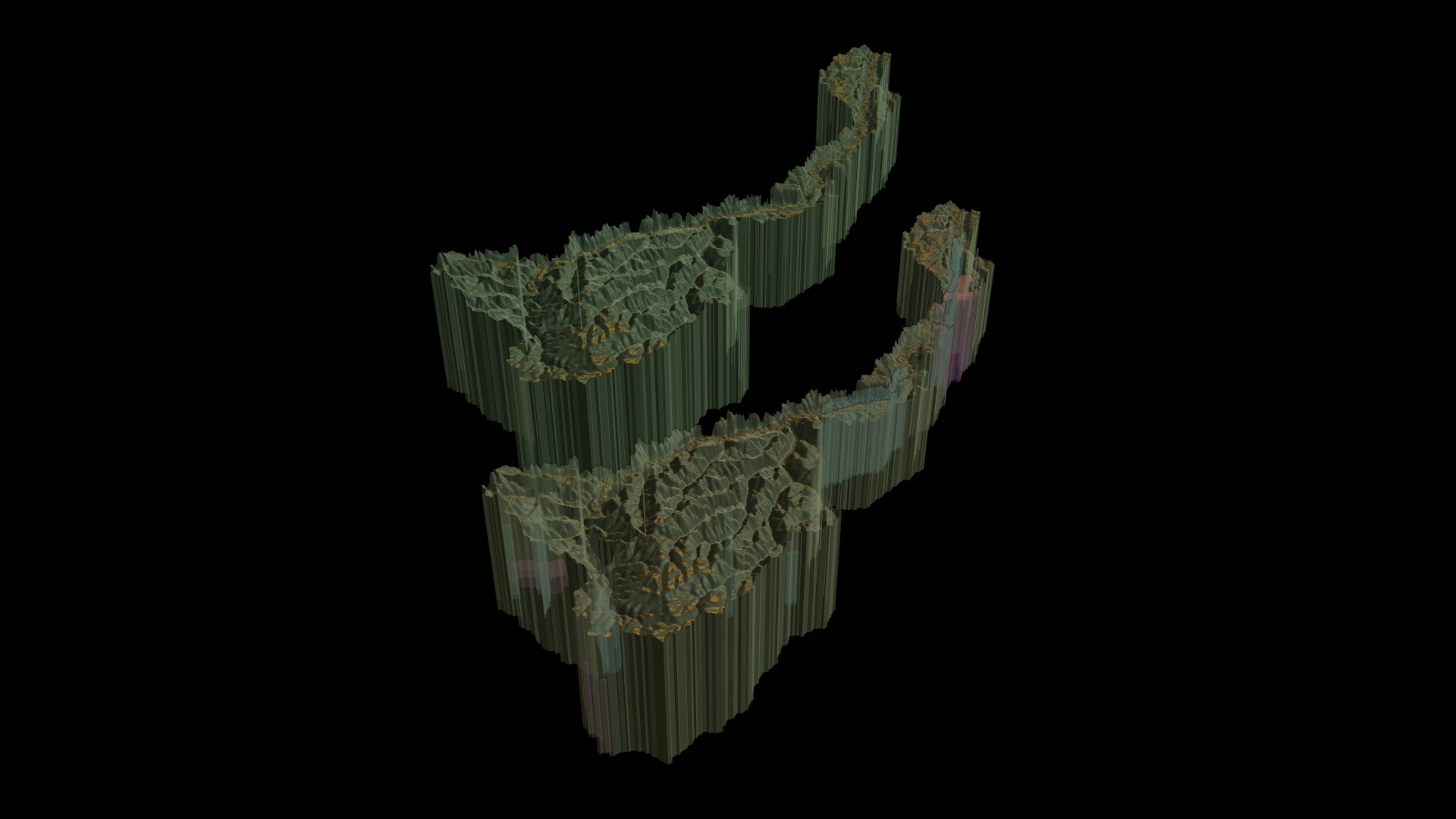
Subbasin Caquetá-Japurá // Threats of oil, gas and mining present in the territory with interventions based on Voroid Diagram
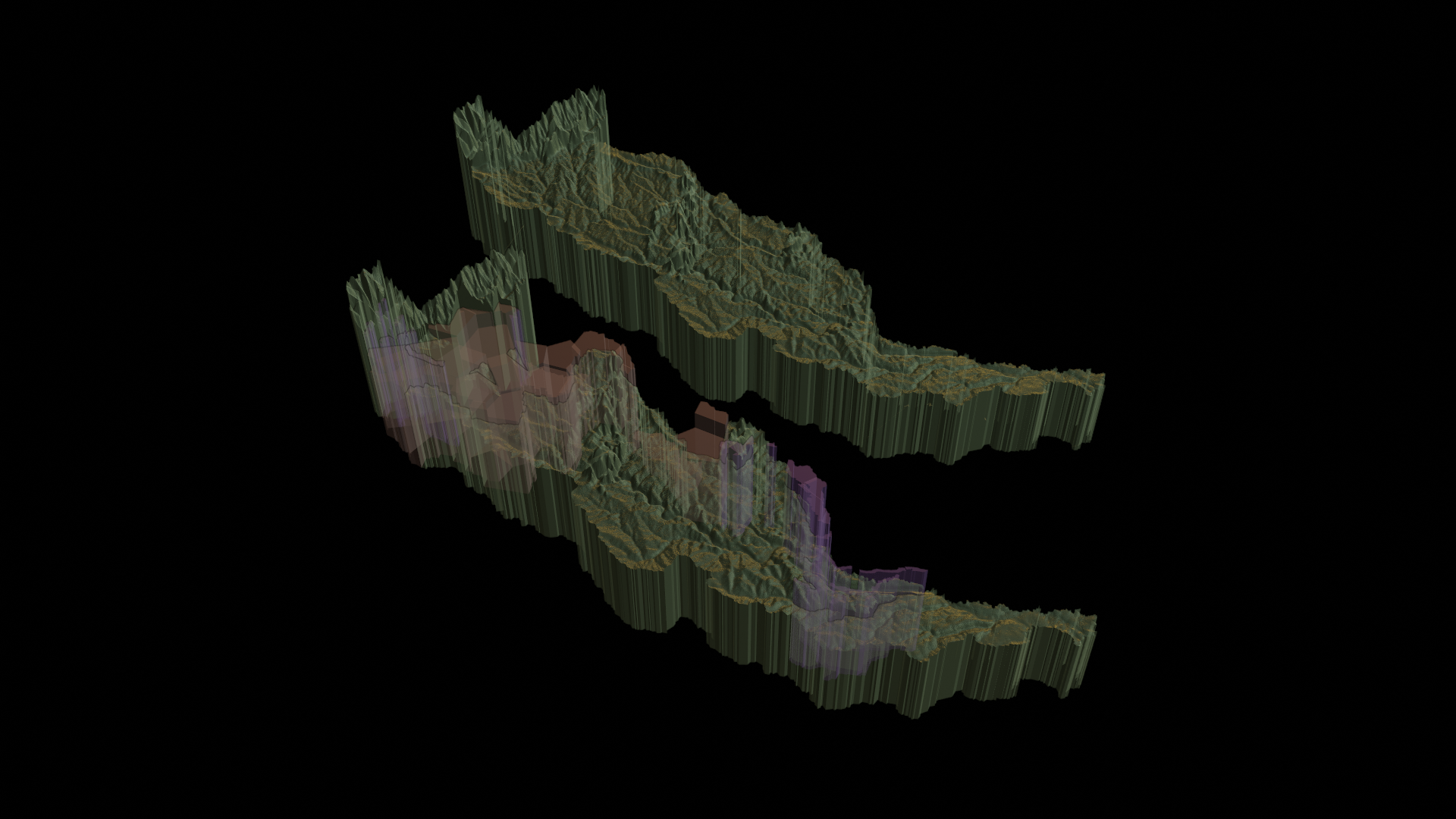
Subbasin Caquetá-Japurá // Threats of oil, gas and mining present in the territory with interventions based on Voroid Diagram // Xray
Subbasin Caquetá-Japurá // Threats of oil, gas and mining present in the territory with interventions based on Voroid Diagram
Subbasin Caquetá-Japurá // Threats of oil, gas and mining present in the territory with interventions based on Voroid Diagram // Xray
Subbasin Juruá
Subbasin Juruá // Threats of oil, gas and mining present in the territory with interventions based on Voroid Diagram
Subbasin Juruá // Threats of oil, gas and mining present in the territory with interventions based on Voroid Diagram // Xray
Subbasin Juruá // Threats of oil, gas and mining present in the territory with interventions based on Voroid Diagram
Subbasin Juruá // Threats of oil, gas and mining present in the territory with interventions based on Voroid Diagram // Xray